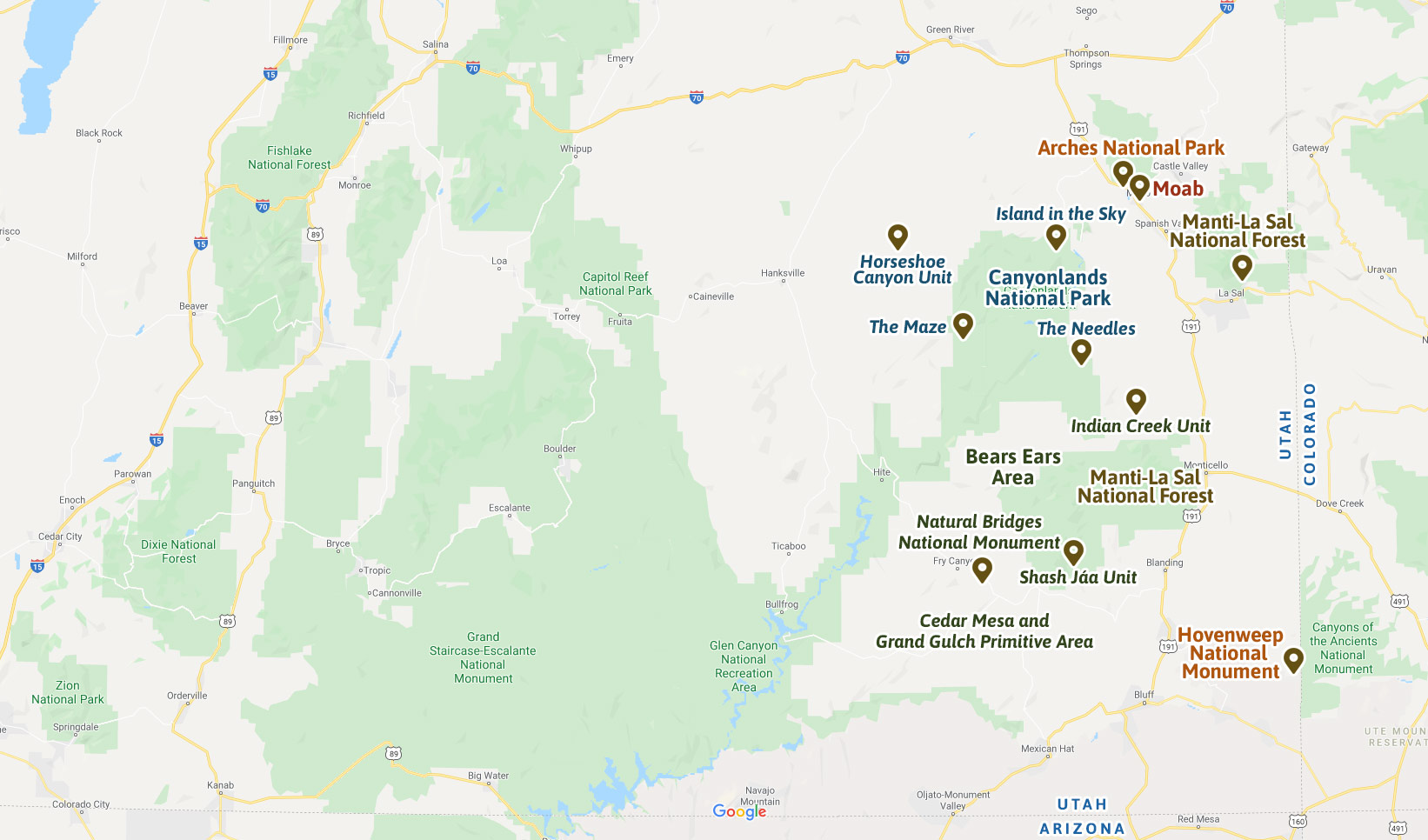
Plan Your Visit
Plan your visit to the parks and public lands of Southeastern Utah.
Browse the destinations below to get suggestions on what to see and do, maps and directions, information on fees and permits, FAQs, and important tips for safety and protecting these remarkable lands.
Canyonlands Natural History Association is an official partner of:

Your purchases and donations support education and research on the public lands of Southeastern Utah!

Arches & Canyonlands Visual Toolkit
2.99 (15% off for members)

ATV Trails Guide, Moab, UT
24.95 (15% off for members)

Best Easy Day Hikes/Canyonlands Package
24.95 (15% off for members)
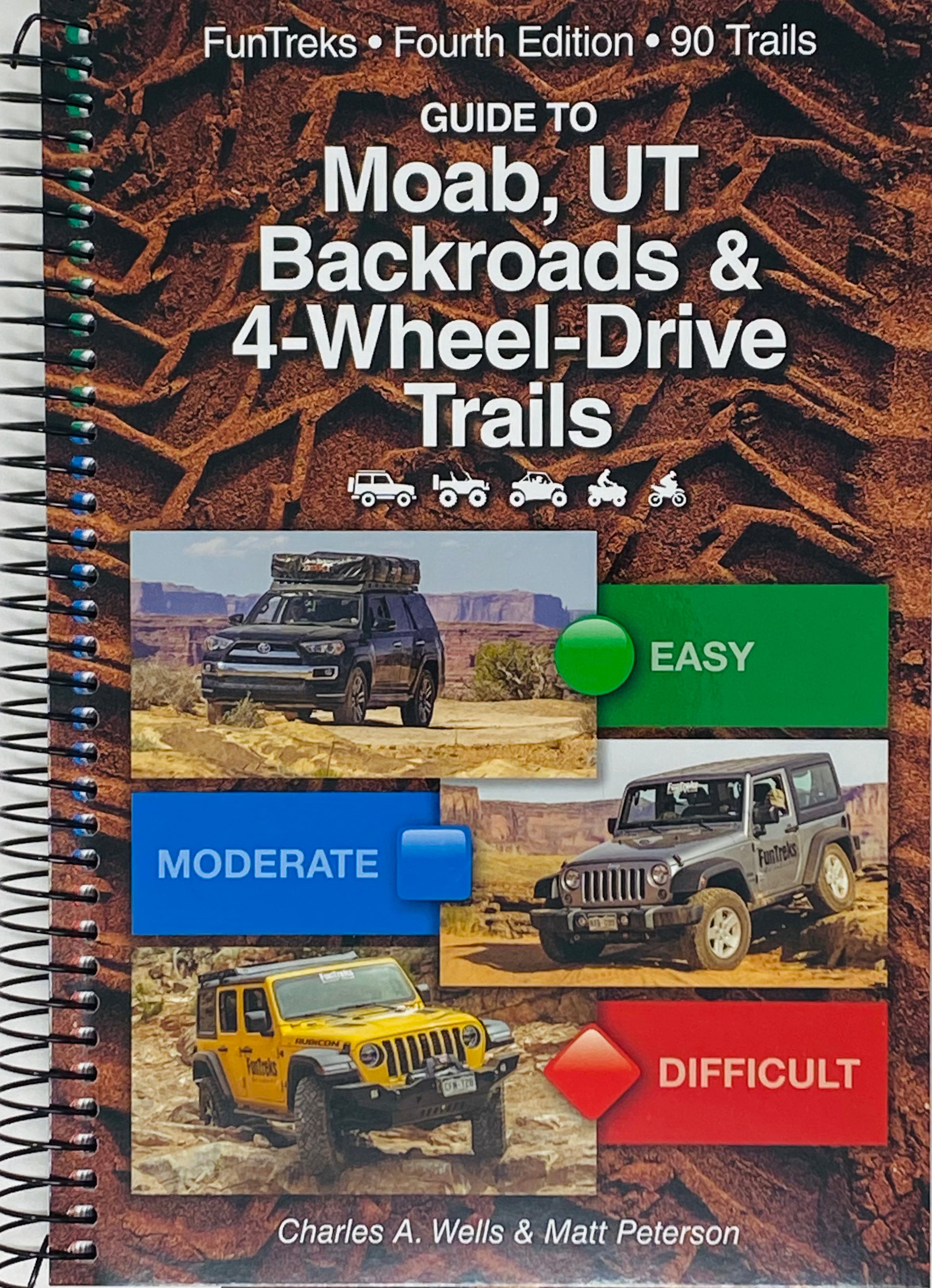
Moab Backroads & 4-Wheel Drive Trails
39.95 (15% off for members)

Utah Road & Recreation Atlas
26.95 (15% off for members)