Canyonlands National Park
From the Rivers to the Sky
At the center of Canyonlands National Park’s red rock wilderness are two great canyons carved by the Colorado and Green Rivers. The rivers divide the park into four districts: Island in the Sky, Needles, the Maze, and the rivers themselves.
The four districts are not directly linked by roads, so travel between them requires two to six hours by car.
The Horseshoe Canyon Unit contains some of the most significant rock art in North America.
Each district has its own character and offers different opportunities for exploration and encounters with natural and cultural history.
Your purchases and donations support education and research on the public lands of Southeastern Utah!

Candlestick Tower Outdoor Blanket
139.99 (15% off for members)

Canyonlands Map Long Sleeve T-Shirt
36.99 - 39.99 (15% off for members)

Canyonlands National Park Map
14.95 (15% off for members)
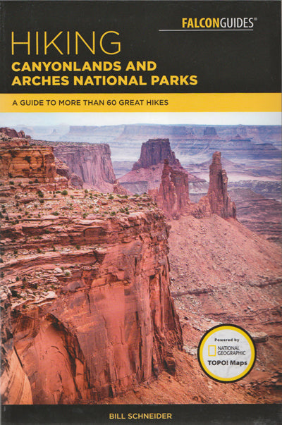
Hiking Canyonlands and Arches National Parks
26.95 (15% off for members)

Wilderness of Rock: Canyonlands National Park DVD
12.99 (15% off for members)