Manti-La Sal National Forest
Alpine Forests, Lakes and Streams
Think of the Manti-La Sal National Forest as a group of far-flung islands of wooded retreats that are scattered from central Utah to southeastern Utah and western Colorado.
The Sanpitch Mountains and the Wasatch Plateau are closest to the urban areas of the Wasatch Front.
To the southeast, you’ll find the La Sal Mountains and the Abajo Mountains/Elk Ridge area.
The forest offers diverse landscapes of deep sandstone canyons, mountaintops, meadows, lakes, and streams to enjoy in every season.
Learn more about the Manti-La Sal National Forest on the USDA Forest Service website.
The La Sal Mountains
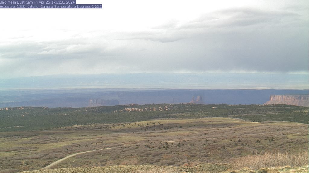
The La Sal Mountains, located about 20 miles south of Moab, Utah, rise to an elevation of over 12,000 feet (3658 m) forming a spectacular backdrop to the red rock desert of the valleys below.
This vast recreation area provides opportunities for scenic drives, hiking, mountain biking, camping, fishing, peak-bagging, backcountry skiing, hunting, and snowmobiling.
Learn more about the La Sals on the USDA Forest Service website.
The Abajo Mountains
The Abajo Mountains are just west of Monticello, Utah. The highest point within the range is Abajo Peak at 11,360 feet (3,463 m).
The Abajos feature a network of trails, scenic drives, camping, and opportunities for back-country skiing and snowmobiling. Rich in cultural history, ancient cliff dwellings and petroglyphs can be found throughout the mountains.
Get more information about the Abajo Mountains on the USDA Forest Service website.
Visit the Manti-La Sal Forest Facebook page for the latest on trails, camping, and forest fun.
Questions? Contact:
Moab Ranger District
62 East 100 North
PO Box 386
Moab, UT 84532
Phone: 435-259-7155
Monticello Ranger District
496 East Central
PO Box 820
Monticello, UT 84535
Phone: 435-587-2041
Your purchases and donations support education and research on the public lands of Southeastern Utah!

La Sal Mountains Travel Stamp
3.99 (15% off for members)

Manti-La Sal National Forest Map: La Sal & Abajo Mtns, Dark Canyon
14.95 (15% off for members)

Moab Directions Magnet
5.99 (15% off for members)

Moab East
14.99 (15% off for members)

US Forest Service Manti-La Sal Map
16.00 (15% off for members)