The Moab Area
Endless Fun and Adventure
The spectacular red rock country of the Moab area in Southeastern Utah offers seemingly endless outdoor adventures and opportunities for having fun. Hiking, biking, auto touring, 4-wheeling and rafting are just some of the activities to enjoy during your visit.
Plan Your Visit
The City of Moab lies in the heart of the magnificent red rock canyons and mesas of southeast Utah.
It is the gateway community for Arches and Canyonlands National Parks, Dead Horse Point State Park, the Colorado River, the La Sal Mountains, three scenic byways and thousands of square miles of incredible public lands.
Moab is a full-service, tourist-friendly community, with lots of hotels, shops and restaurants to serve your needs during your visit.
Moab Information Center
Make the Moab Information Center (MIC) your first stop when you arrive in Moab.
The MIC’s friendly and knowledgeable staff is ready to answer your questions and provide area information to help you make the most of your visit.
Get hours, directions, and more information about what you can find at the MIC.
Things to Know
Essential things to know and FAQs about the Moab Area.
Things to Do
Learn about all the things you can do in the Moab Area.
4WD
ATV / UTV
Auto Touring
Backpacking
Camping
![]()
Climbing
Dog-Friendly
Family Friendly
![]()
Hiking
![]()
Horseback Riding
Mountain Biking
![]()
Rock Art
Stargazing
Your purchases and donations support education and research on the public lands of Southeastern Utah!

2025 Canyon Country Wall Calendar
12.99 (15% off for members)

ATV Trails Guide, Moab, UT
24.95 (15% off for members)

Last of the Robbers Roost Outlaws - Moab's Bill Tibbetts
15.99 (15% off for members)
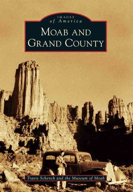
Moab and Grand County (Images of America series)
24.99 (15% off for members)

Moab Area Rock Art DVD
9.99 (15% off for members)